Topographic rise
From central Merlo, the road climbs quickly toward the eastern ridge. That rapid gain in elevation explains the widening views, stronger wind, and changing sky conditions often associated with the site.
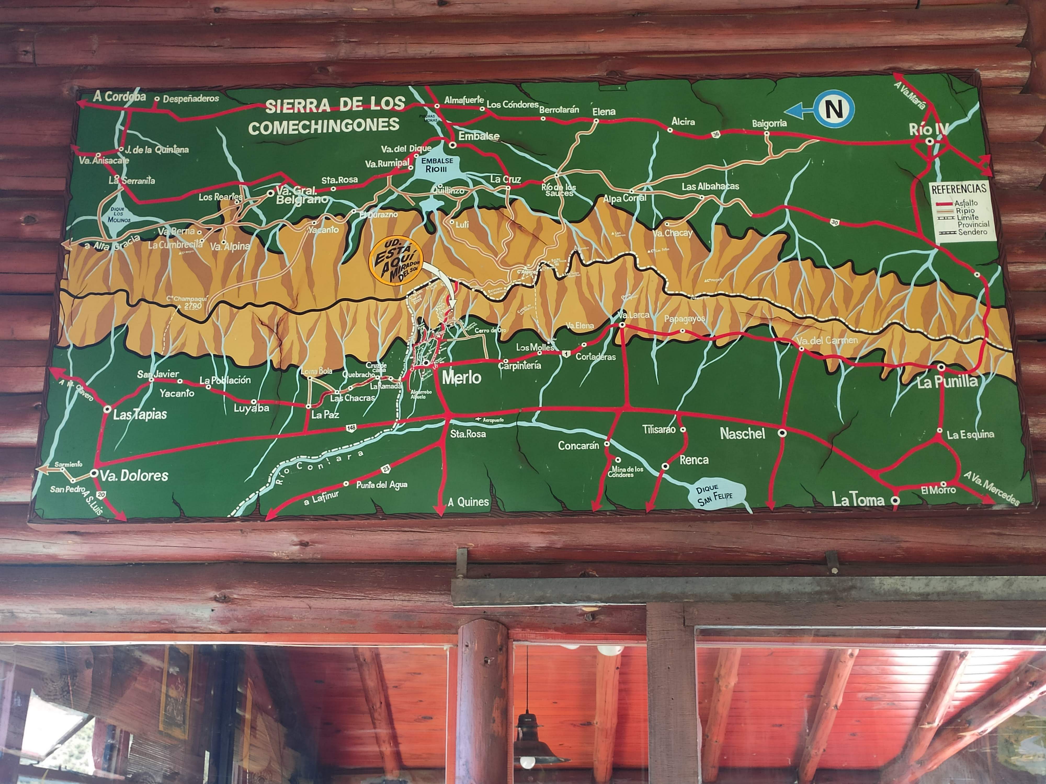
This page treats the site as a place-based guide rather than a tourism advertisement. It brings together mountain context, microclimate clues, access routes, on-site images, and practical advice for visitors heading above Villa de Merlo.
Key facts
The value of Mirador del Sol comes from more than one activity. Road ascent, elevation gain, valley views, cloud behavior, and local naming traditions all shape the experience.
From central Merlo, the road climbs quickly toward the eastern ridge. That rapid gain in elevation explains the widening views, stronger wind, and changing sky conditions often associated with the site.
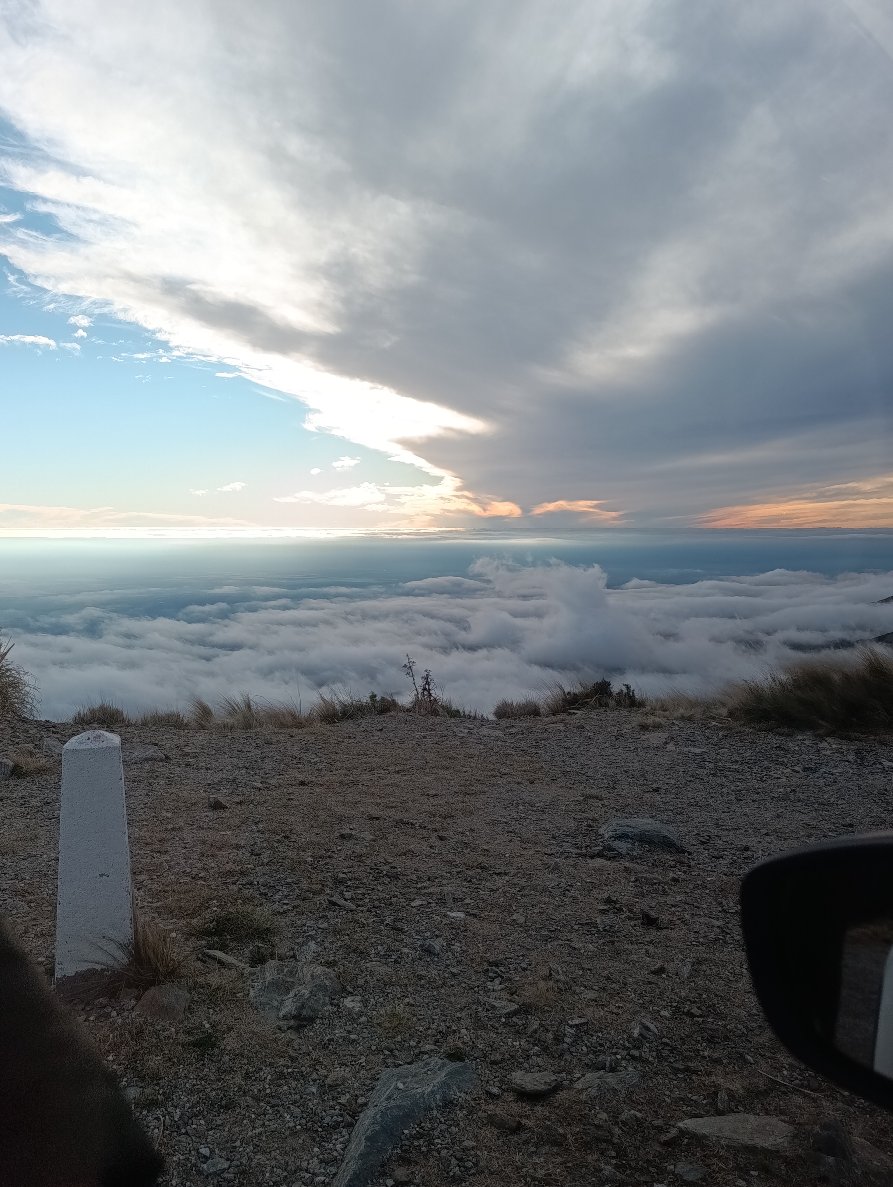
Merlo is often described through its local microclimate. At this lookout, visitors mostly notice it through mountain shelter effects, day-night temperature contrast, and inversion layers that can produce morning cloud seas.
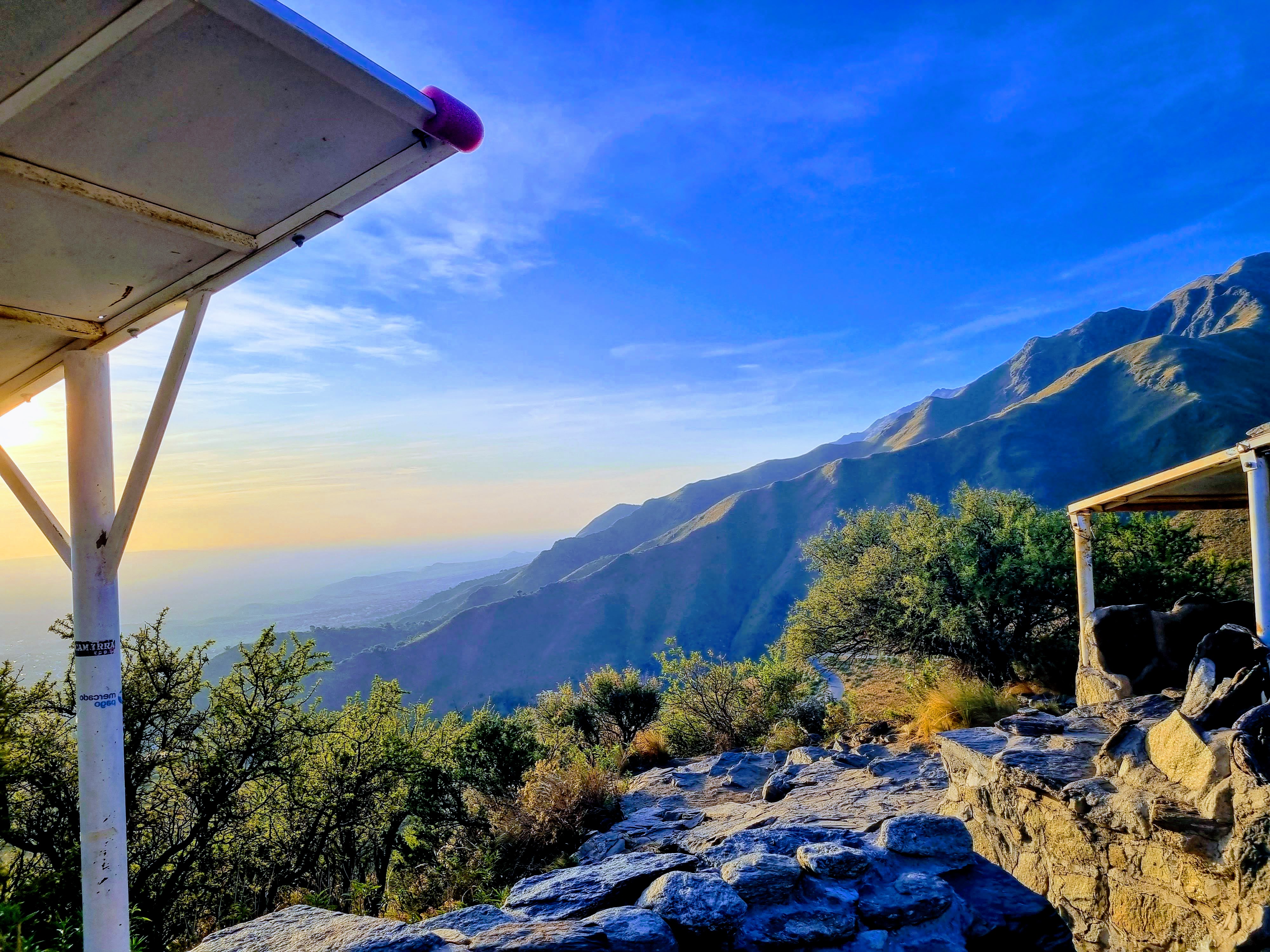
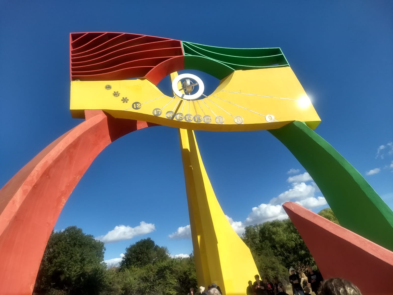
The name Mirador del Sol belongs to a broader ridge-view tradition linked to the Comechingones landscape. Sun angles, horizon lines, and seasonal light remain central to the site's identity.
Photos
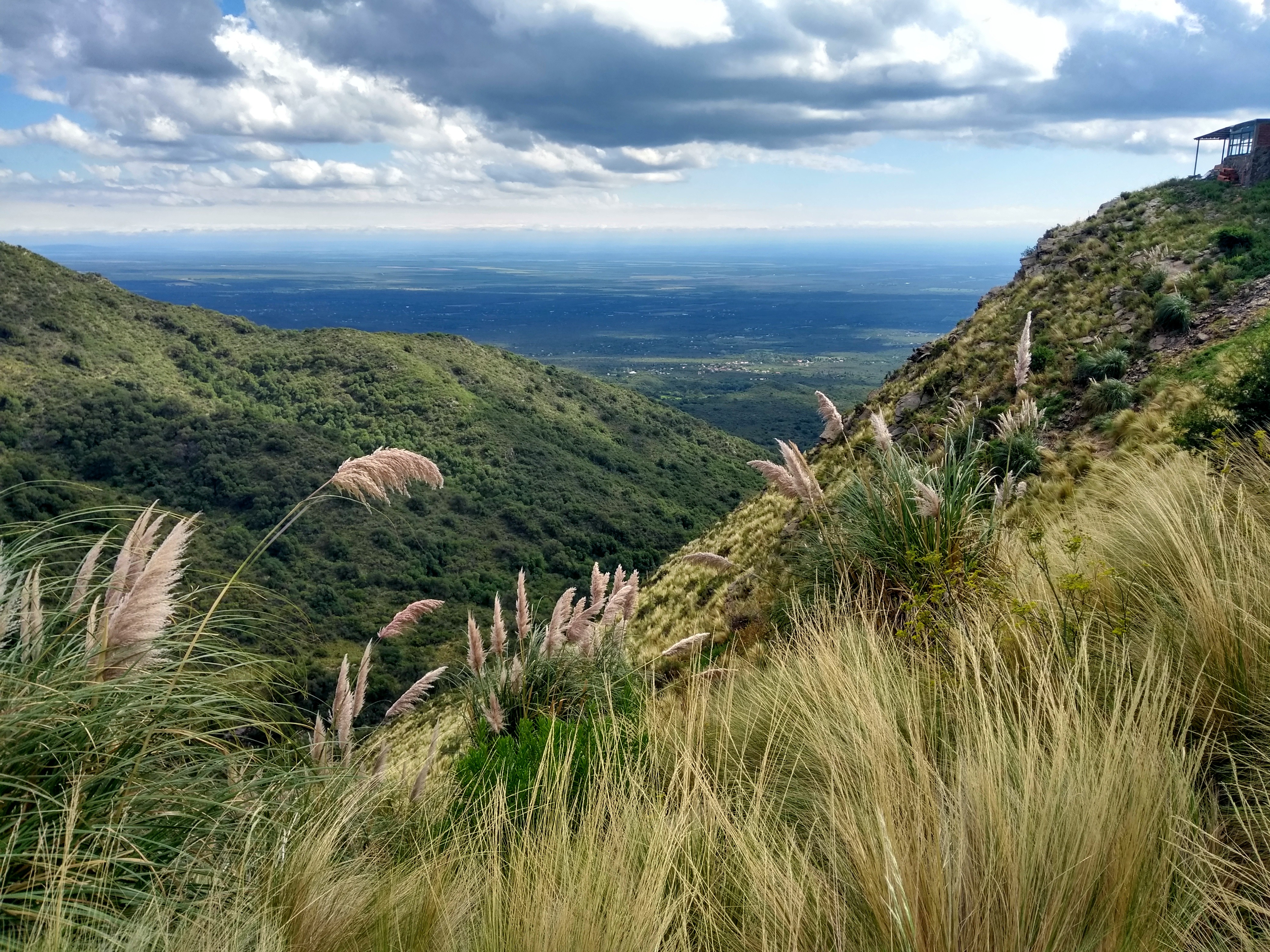
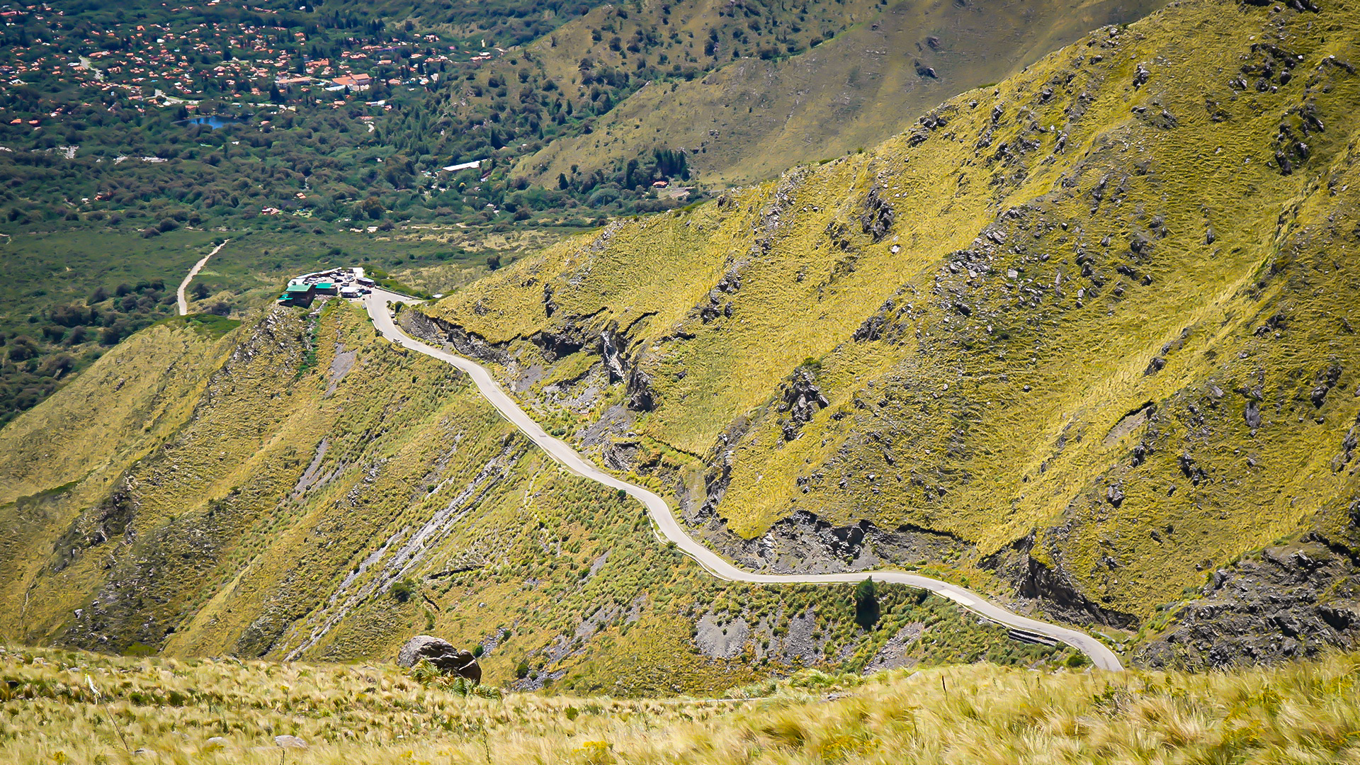
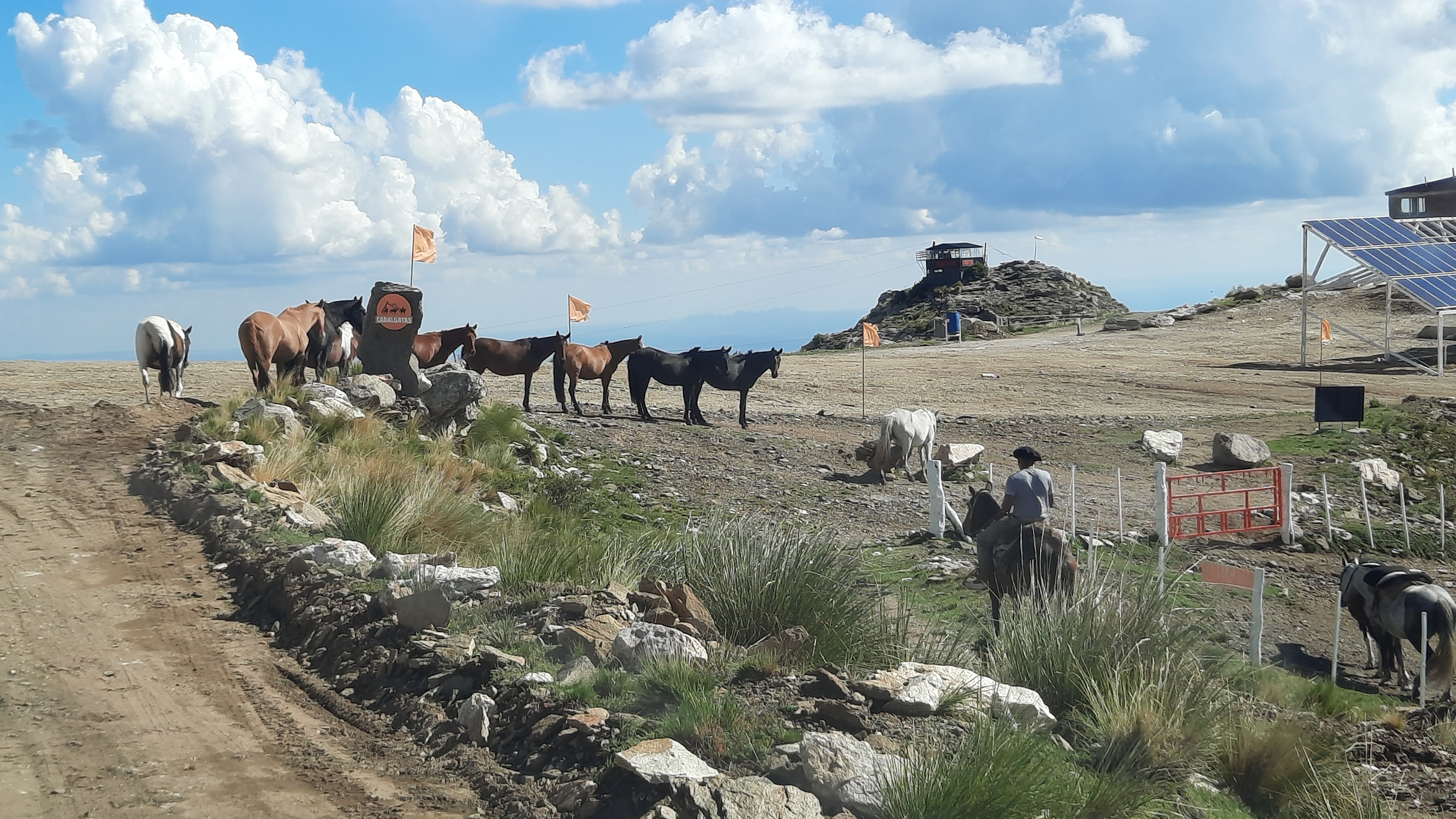
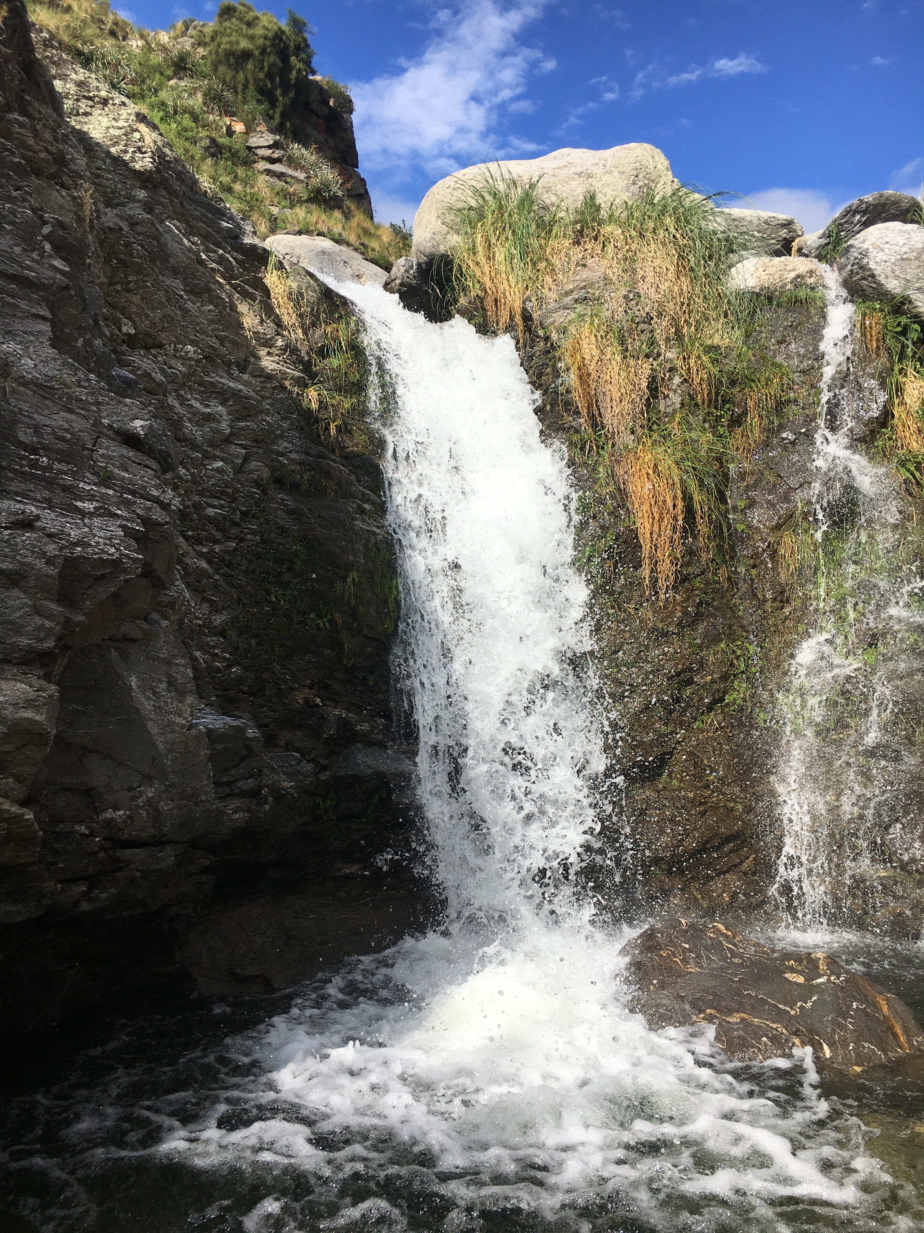
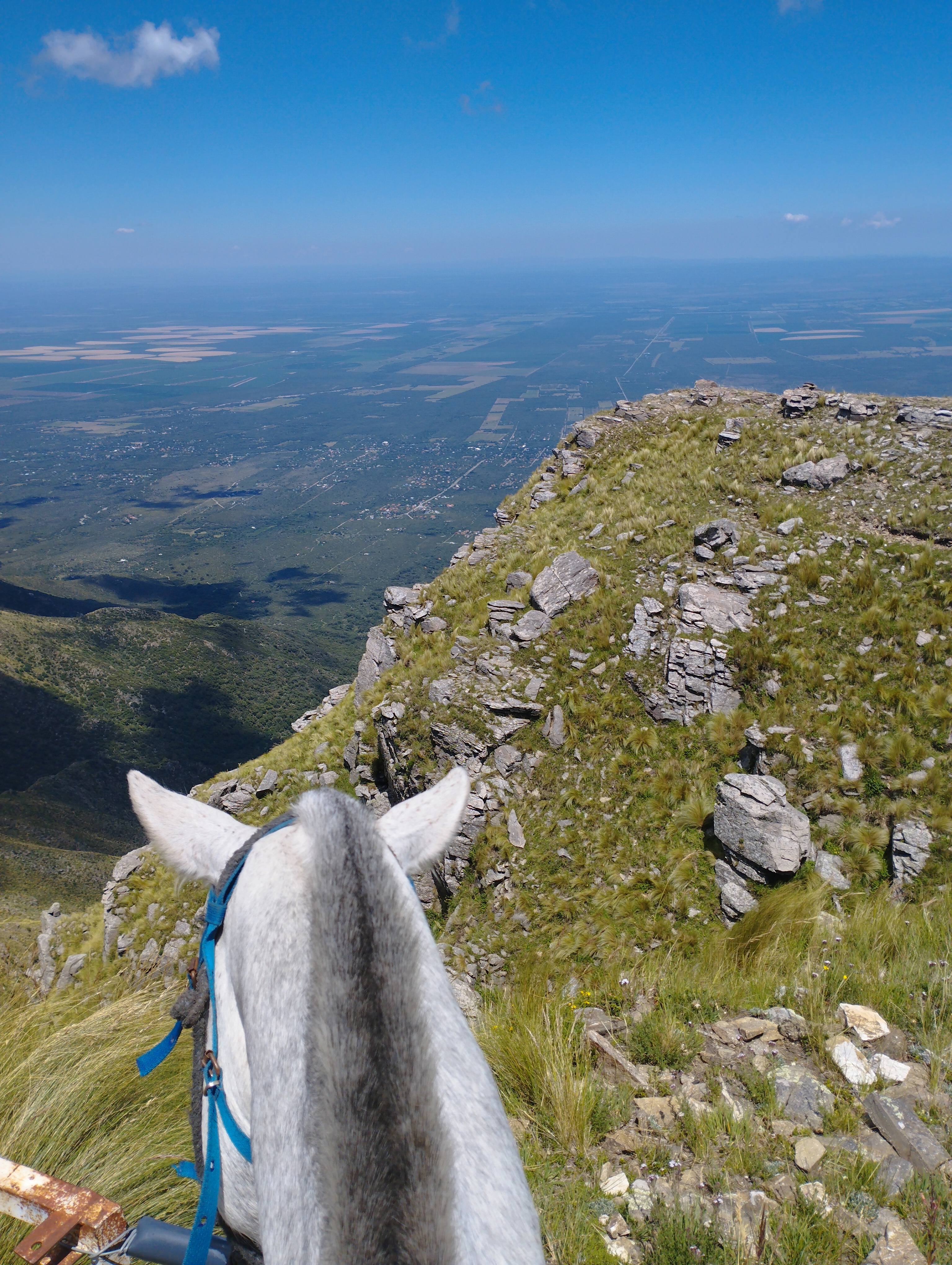
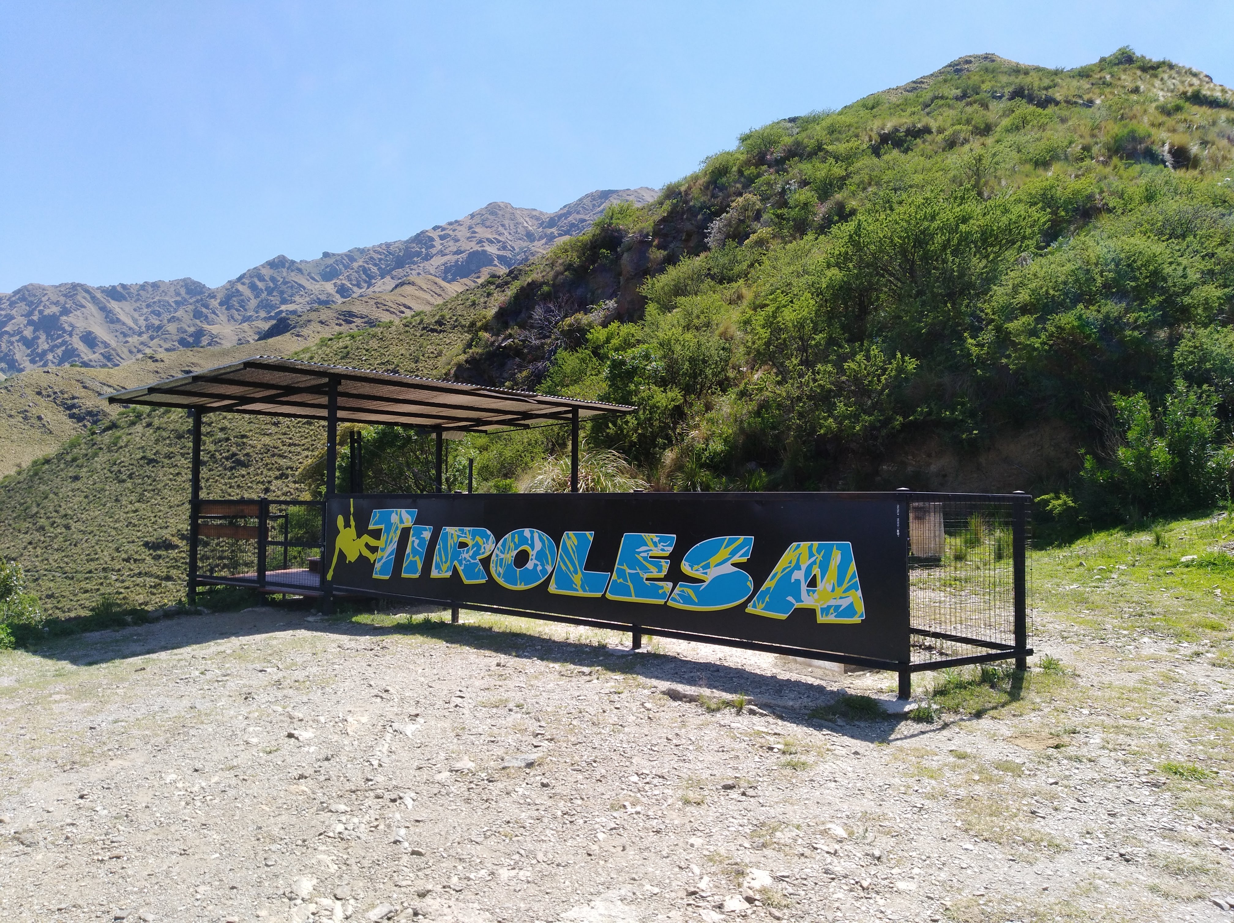
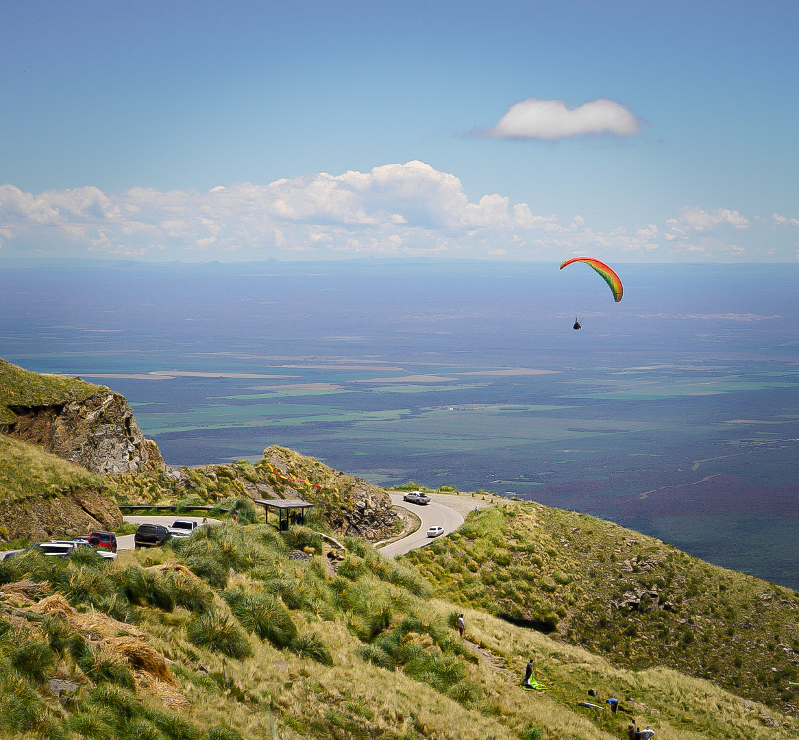
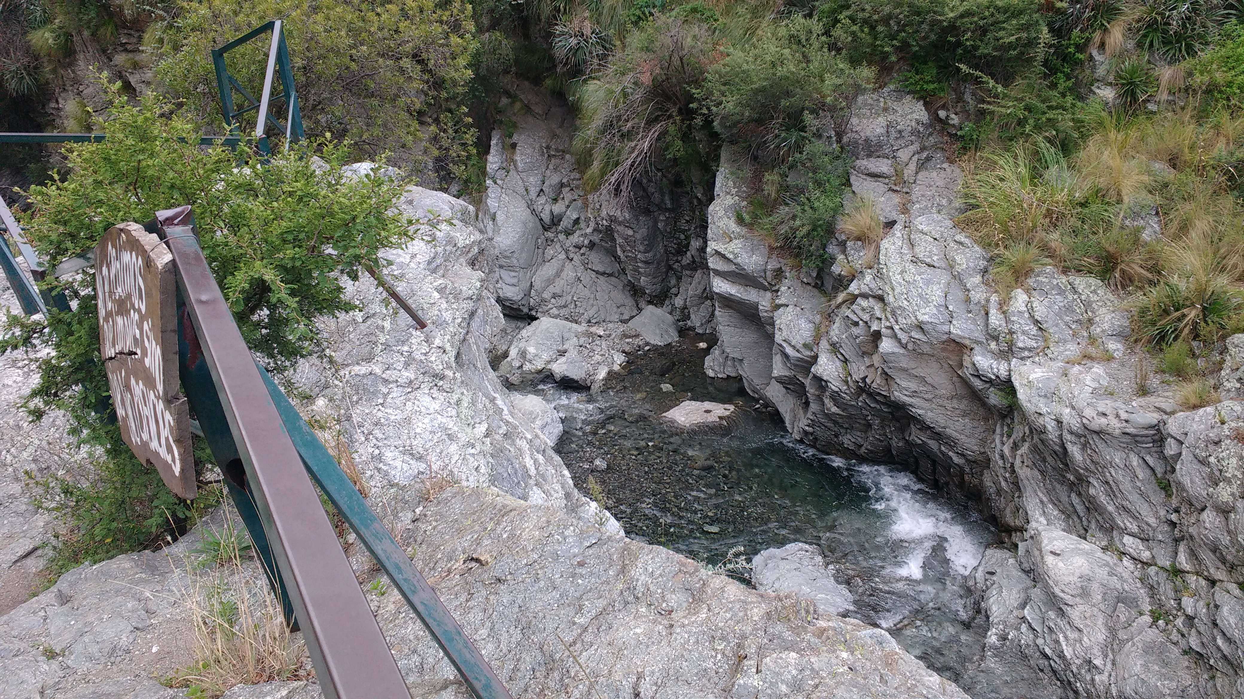
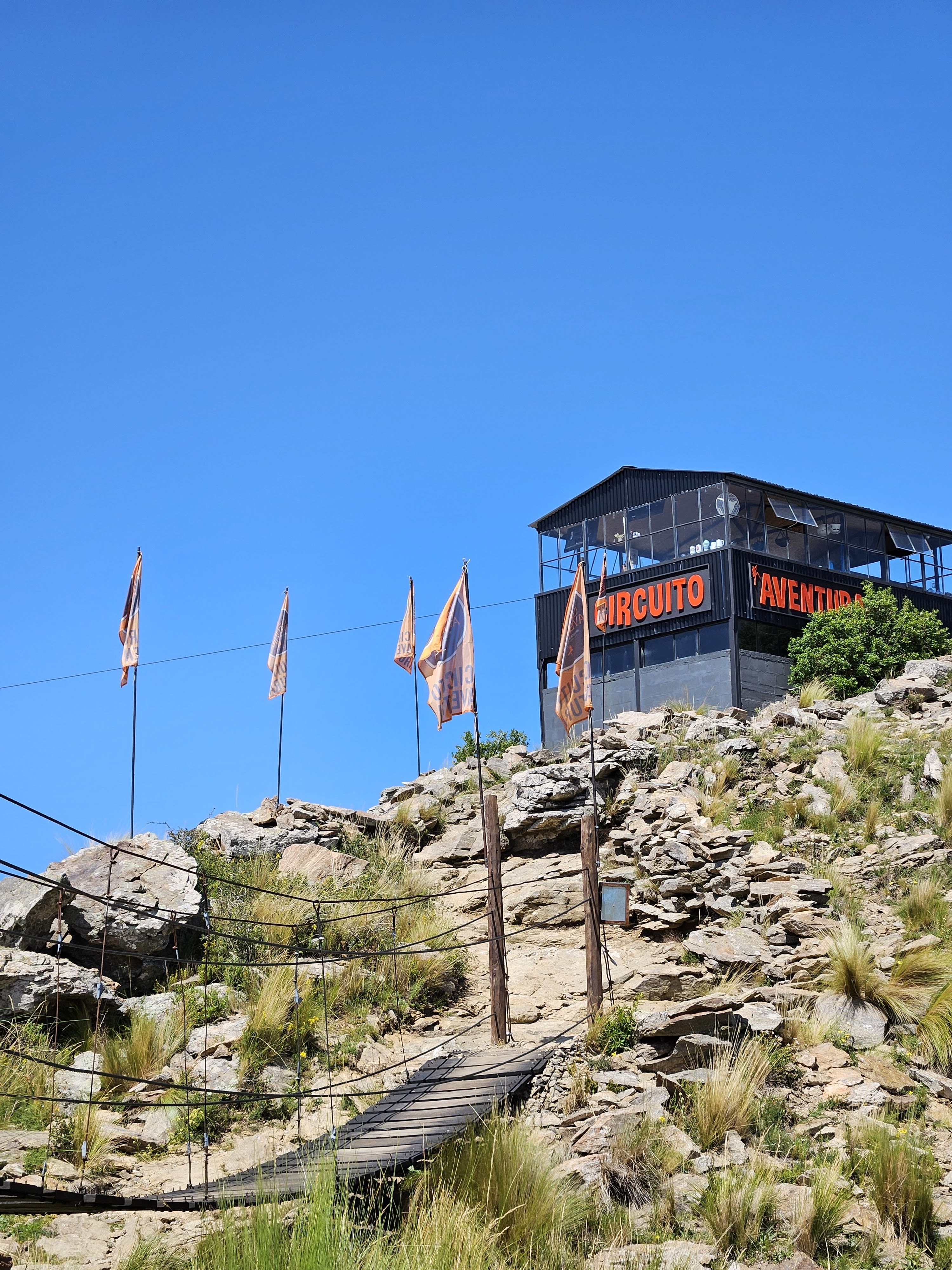
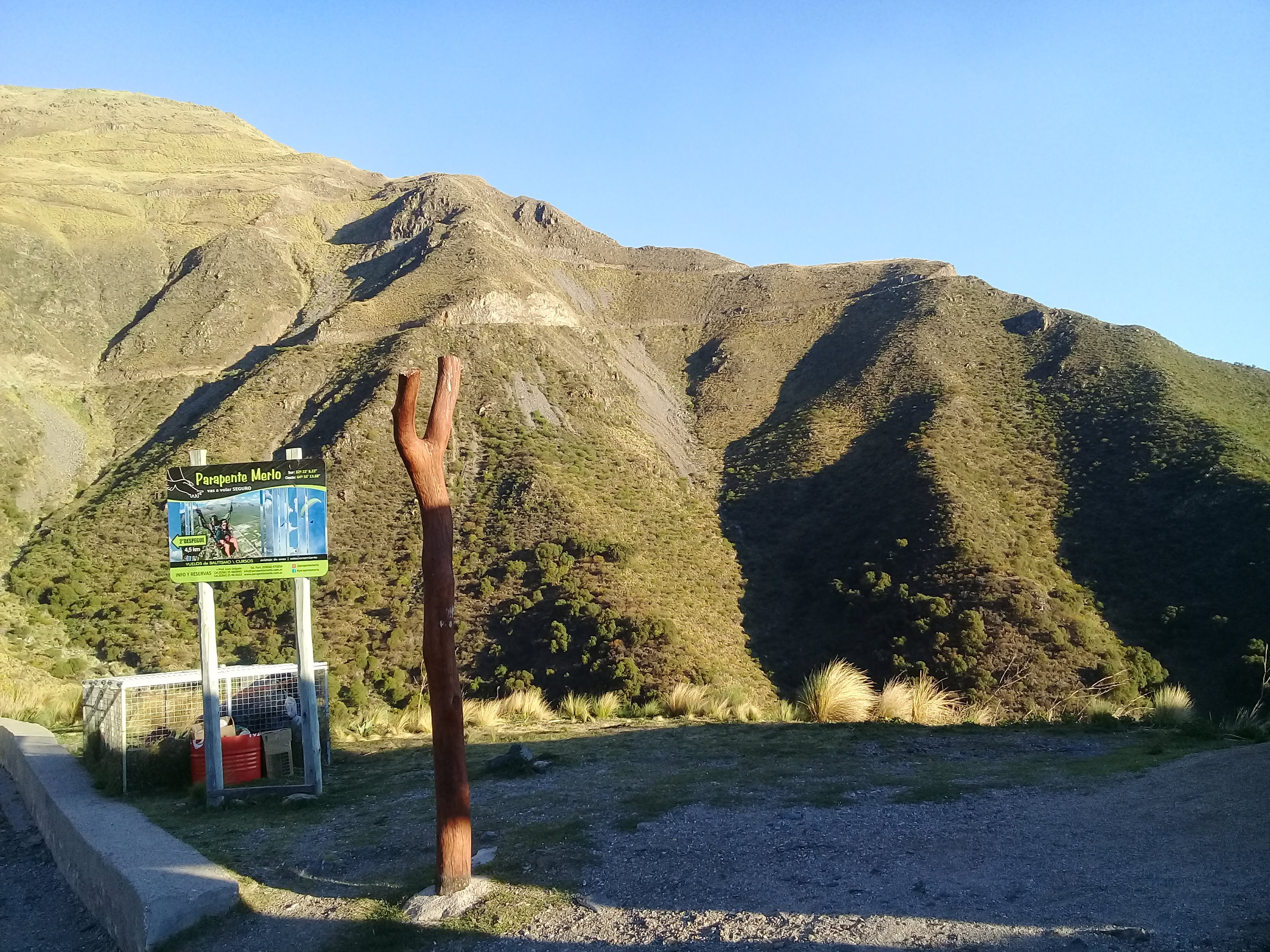
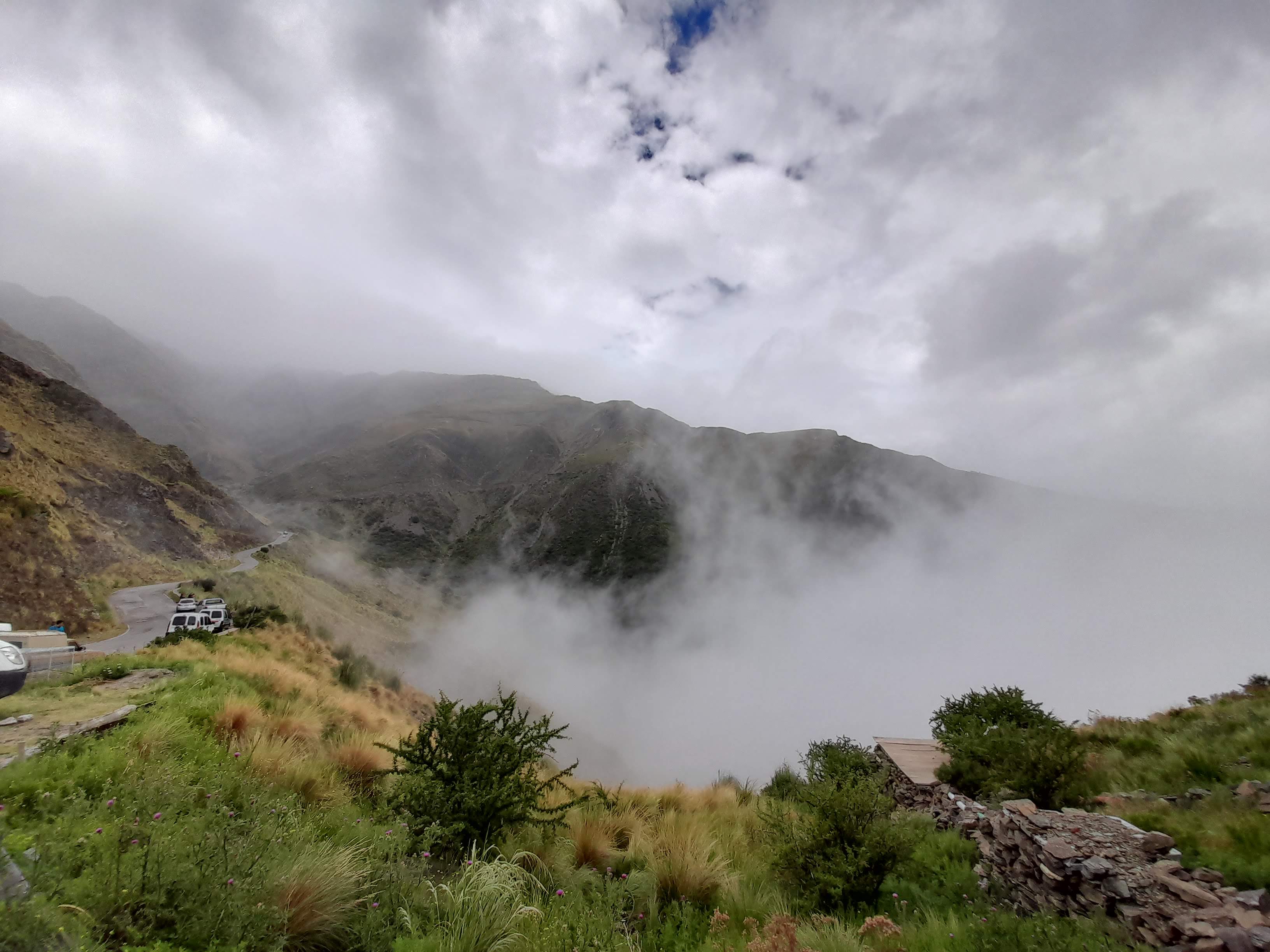
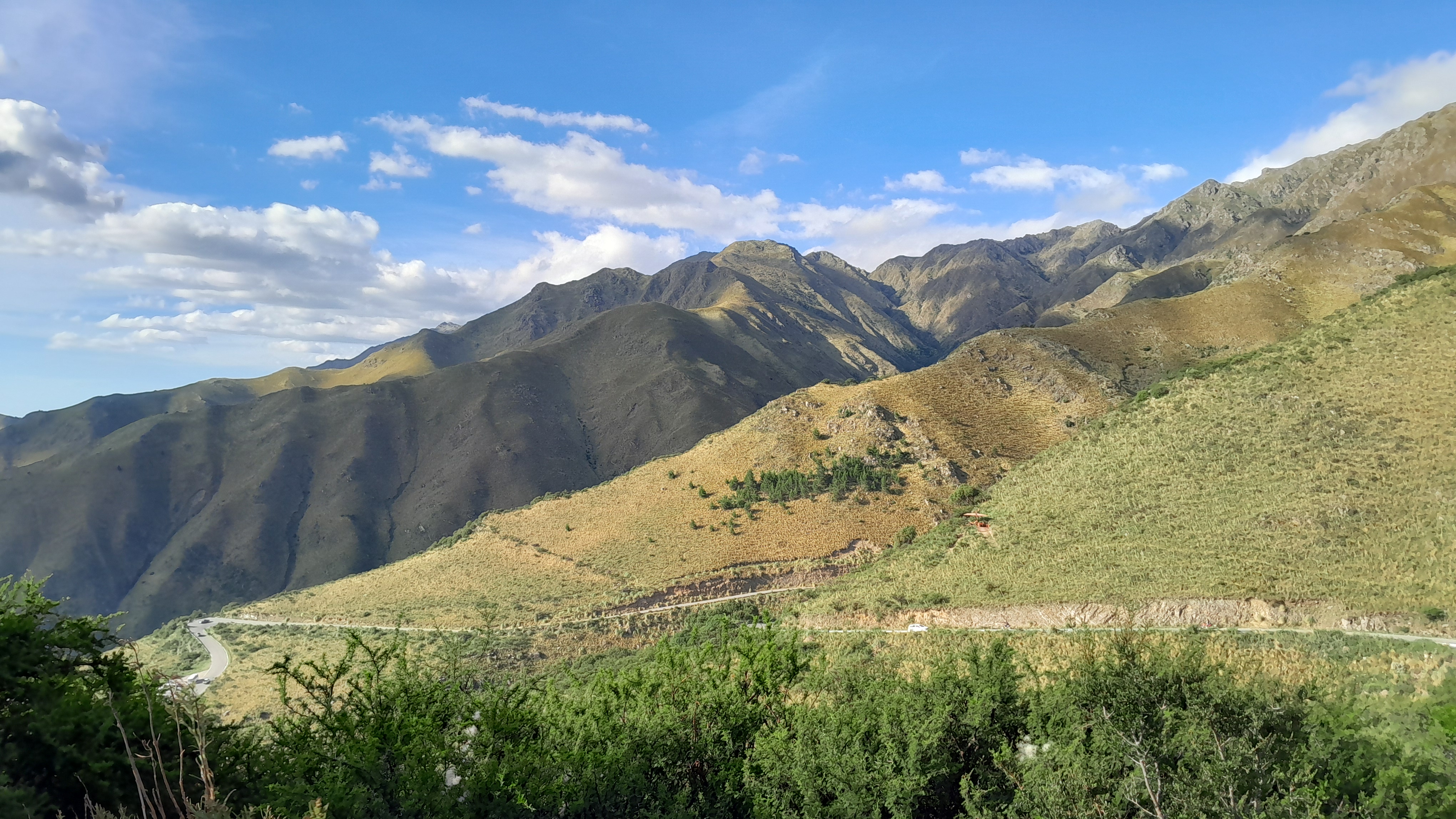
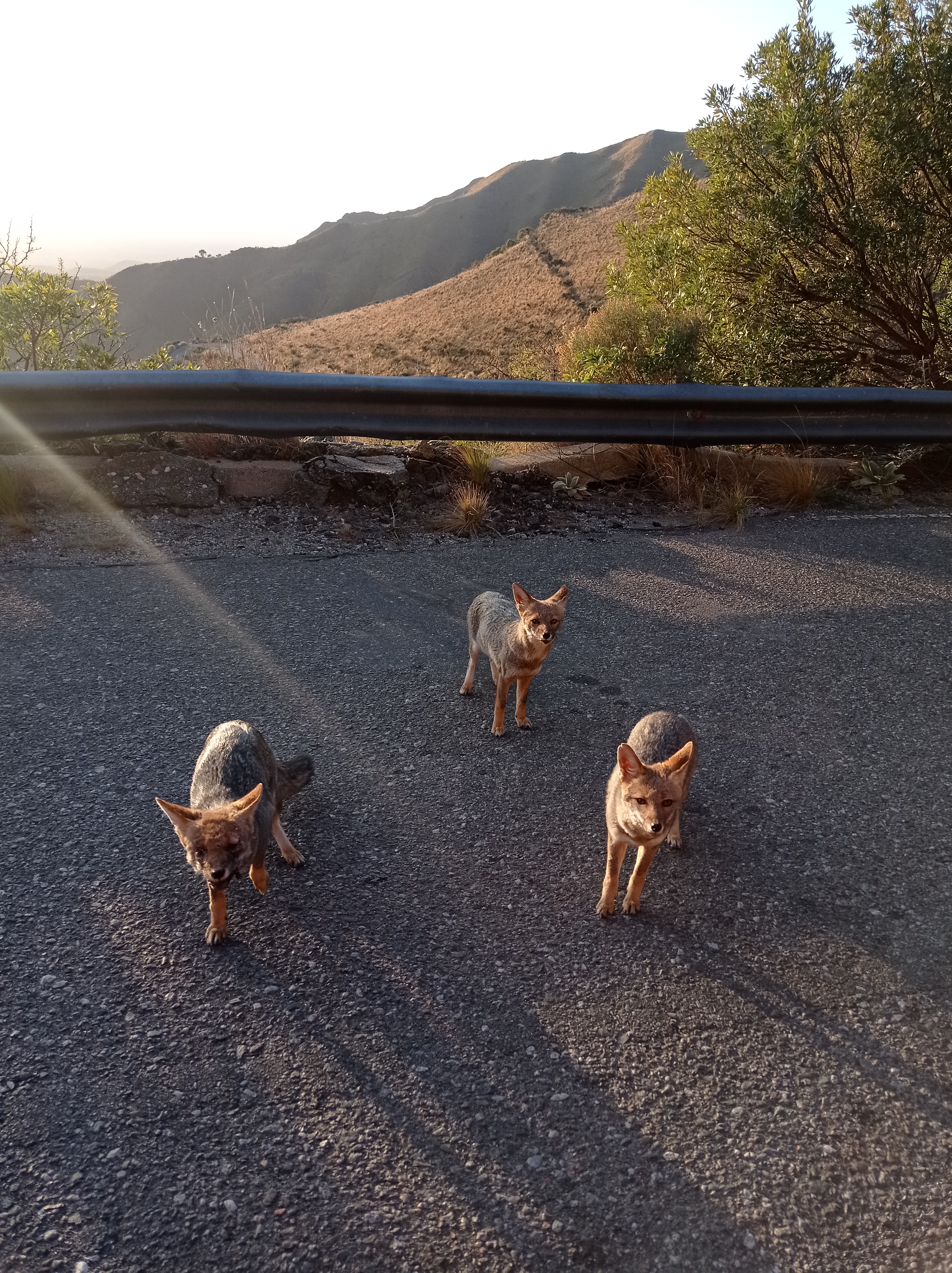
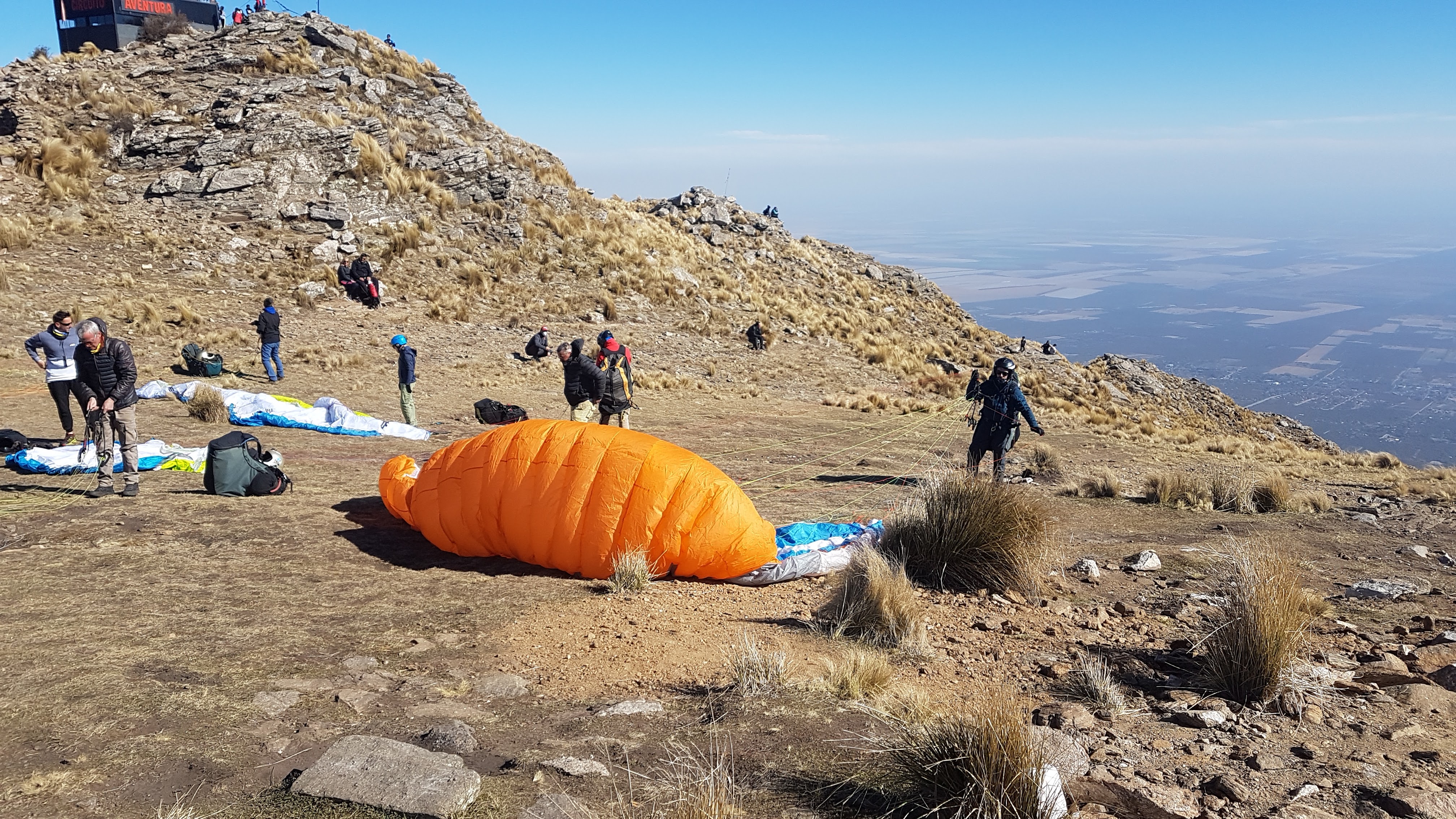
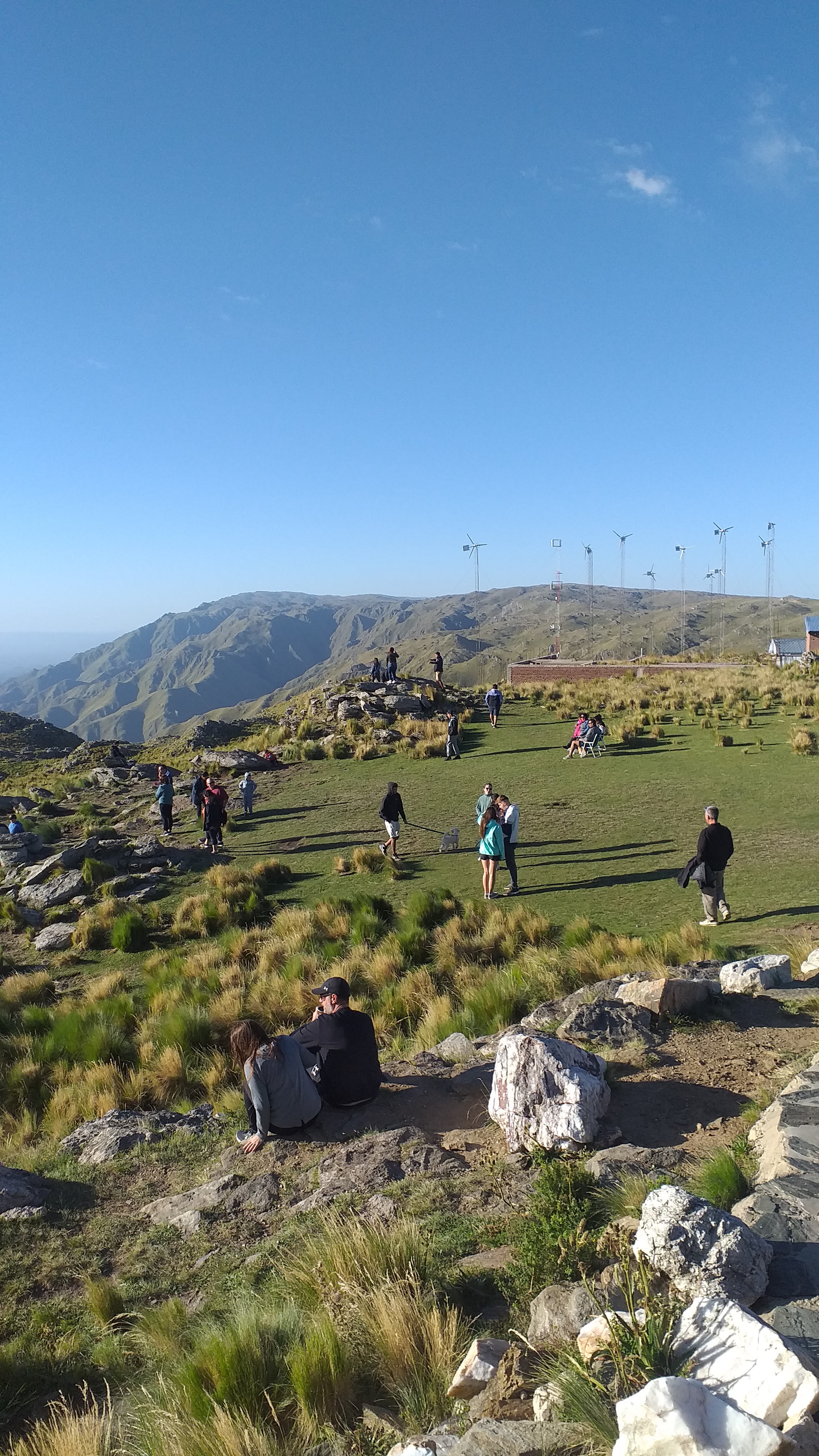
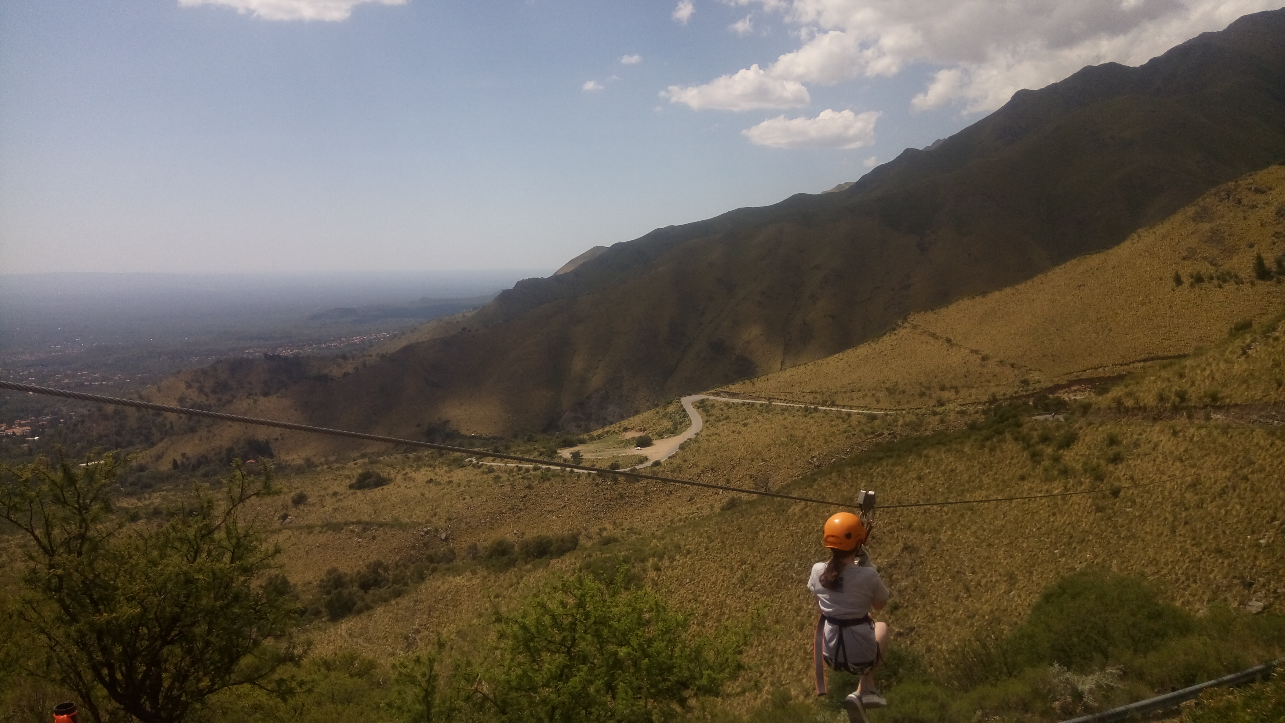
The gallery uses local images of the valley, mountain road, lookout area, and activity setting, offering a visual reference before arrival. The hero background comes from the same on-site image set.
Overview
Read as a field site rather than a simple stop, the lookout reveals useful clues about mountain ecology, zipline physics, and the timing of light.
As the road rises, lower dry woodland gives way to wind-tolerant shrubs, grasses, and exposed rock. The ridge also creates good conditions for observing soaring birds using thermal and slope lift.
Mountain ziplines rely on elevation difference and cable tension. Wind, body weight, and daily operating conditions all affect speed and comfort, so the operator's current briefing should always take priority.
Morning is often better for cloud layers and inversion effects, while late afternoon is stronger for side light on the ridge. For photography, timing matters as much as a clear forecast.
Key facts
A stronger destination page benefits from a compact technical sheet summarizing coordinates, elevation, rock type, climate, and vegetation. These details give the site a more geographic reading frame.
Access
Tirolesa Mirador Del Sol makes more sense when read as one node along the climbing scenic road rather than as an isolated lookout. Elevation gain drives the visitor experience.
This lower zone concentrates the best-known Merlo microclimate setting. From here vehicles enter Ruta 5 and begin a sequence of switchbacks through denser vegetation and the clearest urban-mountain transition.
This is the key transition between lower woodland and higher shrubland or grass slope. The land opens abruptly, which explains the stronger canyon view, wind exposure, and the engineering logic of the zipline location.
Farther uphill, the road approaches the crest and the natural boundary between San Luis and Cordoba provinces. Vegetation becomes lower and more exposed, while the visual field expands toward adjacent plains.
Overview
Seen as an observation platform rather than only a daytime stop, the area also offers a useful framework for night-sky protection, southern-sky recognition, and astrophotography.
With the ridge helping to block part of the urban glow, clear nights can offer comparatively strong dark-sky conditions. In practical terms, the area is often discussed within a Bortle 3 to 4 style observing range.
The site is well suited for identifying the Southern Cross, Alpha Centauri, and the Magellanic Clouds. For visitors from the Northern Hemisphere, these targets can be one of the most striking differences of place.
Night photography generally benefits from a tripod and a wide lens in the 14 mm to 24 mm range. If the goal is to combine ridge foreground and Milky Way structure, moonless nights from roughly April to September are often preferred.
Reviews
Instead of amplifying emotional praise, this section turns recurring comments into three reading points that are more useful for planning a visit.
High ratings are closely tied to the valley panorama, the ascent by mountain road, and changing cloud or light conditions. For many visitors, the viewpoint itself is enough.
For zipline participants, the open slope and visible drop can greatly amplify the sensation of speed and height. Physical condition and wind on the day matter more than promotional wording.
Visibility, wind, traffic, and road status can reshape the experience. These variables are often more useful than generic claims that the place is simply worth visiting.
Access
Most visitors first reach Villa de Merlo and then complete the final mountain ascent to Mirador del Sol. These are the most practical arrival patterns.
If you want the shortest overland approach, watch for flights serving the Valle del Conlara area. When schedules do not fit, San Luis or Cordoba are broader alternatives followed by road transfer to Merlo.
Driving is the most direct option. After reaching Merlo, continue uphill along Ruta 5 toward the lookout. Curves, grade changes, and scenic pull-offs make daylight driving the safest choice.
Long-distance buses usually stop in Villa de Merlo first. From there, the final uphill segment normally requires a taxi, remis, arranged transfer, or travel companion with a vehicle.
Near the lookout the road feels like a distinct mountain approach rather than a simple urban arrival. Wind exposure, parking distribution, and visibility deserve separate attention.
Plan
For landscape reading and photography, aim for shortly after sunrise or roughly 1 to 1.5 hours before sunset. Morning favors cloud layers; late afternoon favors ridge relief.
The ridge usually feels cooler than central Merlo. Add wind exposure and the perceived temperature drops further, so a light windproof layer, water, and sun protection are recommended.
Allow 30 to 60 minutes for a viewpoint-only stop, or up to half a day if you combine photos, nearby overlooks, and aerial activity.
For adventure activities, the operator's active safety briefing always overrides general travel advice. If wind strengthens, visibility drops, or you do not feel fully fit, a lookout-only visit may be the better option.
Links
These resources help extend the page outward to Merlo, San Luis Province, and Argentina-wide public travel information.
The most locally relevant official tourism source for Merlo, useful for broader context on scenic circuits, local climate narratives, and nearby attractions.
The official provincial tourism portal, suitable for expanding the ecological and mountain-travel context around the Comechingones range.
A national government page offering a higher-authority overview of the province and its public context.
Useful for public notices, provincial services, and broader practical context.
Argentina's official travel gateway for international visitors seeking broader route and destination context.
Plan
Common practical questions are easier to trust when presented as concise technical answers instead of scattered comments.